
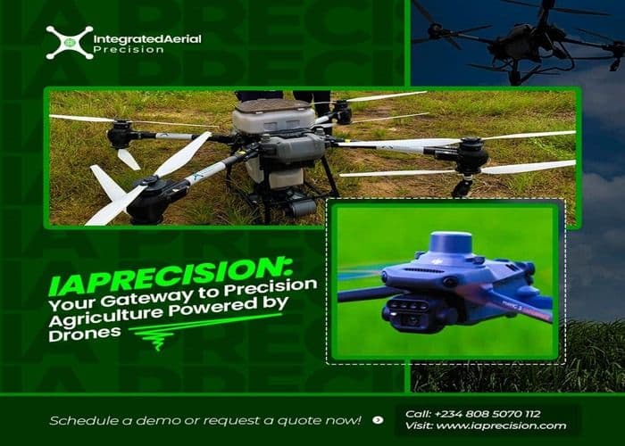
5 Ways Drones are Swiftly Contributing to Increase in Crop yield
Farming is a highly demanding profession, constantly challenged by unpredictable weather, pests, and the ever-present pressure to increase farm profits. Imagine a tool that could give you a bird's-eye view of your fields, pinpoint problems before they become widespread, and even deliver targeted treatments with incredible precision. That tool is called Drone, and it's changing the face of agriculture.
For years, farmers have relied on traditional methods, often involving guesswork and broad-stroke applications of fertilizers and pesticides. These methods can be costly, inefficient, and even harmful to the environment. Drones offer a smarter, more sustainable approach, leading to significant increases in crop yields.
Here are five ways they're making a real difference:
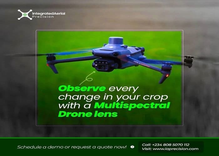
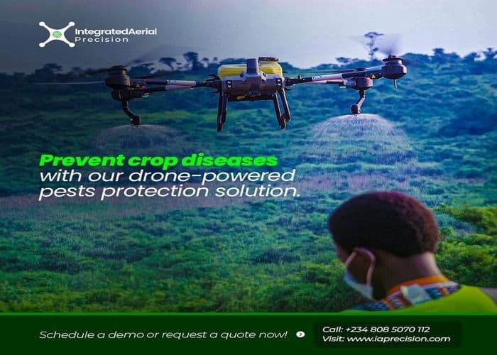
1. Early Problem Detection: Forget walking miles across your fields, hoping to catch problems before they spiral out of control. Drones equipped with advanced imaging technology can quickly scan vast areas, identifying areas of stress, disease, or pest infestation long before the naked eye can detect them. This early warning system allows for timely intervention, preventing widespread damage and saving your crops.
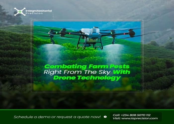
2. Targeted Applications: Traditional spraying methods often result in wasted resources and environmental contamination. Drones, on the other hand, can deliver precise applications of fertilizers, pesticides, and herbicides, directly to the areas that need them. This targeted approach minimizes waste, reduces costs, and protects the surrounding ecosystem. Imagine applying fertilizer only where it's needed, maximizing its effectiveness and minimizing runoff.
3. Optimized Irrigation: Water is a precious resource, and efficient irrigation is crucial for maximizing yields. Drones can map fields and identify areas of water stress, allowing farmers to optimize their irrigation strategies. This ensures that crops receive the precise amount of water they need, preventing both waterlogging and drought stress, ultimately leading to healthier, more productive plants.
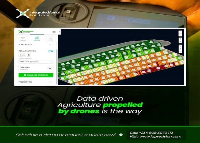
4. Detailed Field Mapping: Drones can create highly detailed maps of your fields, providing valuable insights into topography, soil composition, and drainage patterns. This information can be used to make informed decisions about planting, fertilization, and other crucial aspects of crop management. Understanding your land better than ever before empowers you to make smarter choices that translate directly into higher yields.
5. Data-Driven Decisions: The data collected by drones provides farmers with a wealth of information that can be used to improve their overall farming practices. By analyzing trends and patterns, farmers can make data-driven decisions about everything from crop selection to harvest timing. This level of insight allows for continuous improvement and optimization, leading to consistently higher yields year after year.
Precision drone technology is not just a futuristic concept; it's a practical tool that's available today. Imagine the peace of mind that comes with knowing you have a comprehensive view of your fields, the ability to target problems quickly and efficiently, and the data to make informed decisions. This is the power of drone technology, and it's transforming agriculture as we know it.
Want to experience the power of precision drone farming firsthand? Hear what one of our clients has to say about their experience using this cutting-edge technology on their farm.
Contact our sales team today for your drone purchase at 08085070112 or send an email to sales@iaprecision.com or info@iaprecision.com to learn more and take your farm to the next level.
