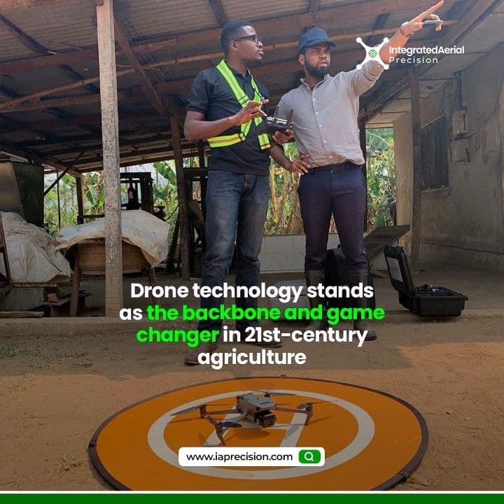
A Drone Mapping Journey Into Optimizing Your Farm Layouts
Precision farming is a game-changer in modern agriculture through the blending of technology and innovation to optimize crop production. And at the same time, minimizing resources and environmental impact. Unlike traditional farming methods, precision agriculture employs the use of advanced tools.
Tools like GPS, sensors, drones, and data analytics to collect real-time data on land terrain, plant count, and crop health are used. Today, you will be put up with the future of agricultural planning. Revealing our drone mapping project where we go beyond capturing aerial views to meticulously divide sprawling farmlands into precisely planned plots.
Subsequently, by tailoring each plot to its specific needs and optimizing resource allocation, we're maximizing efficiency and productivity.
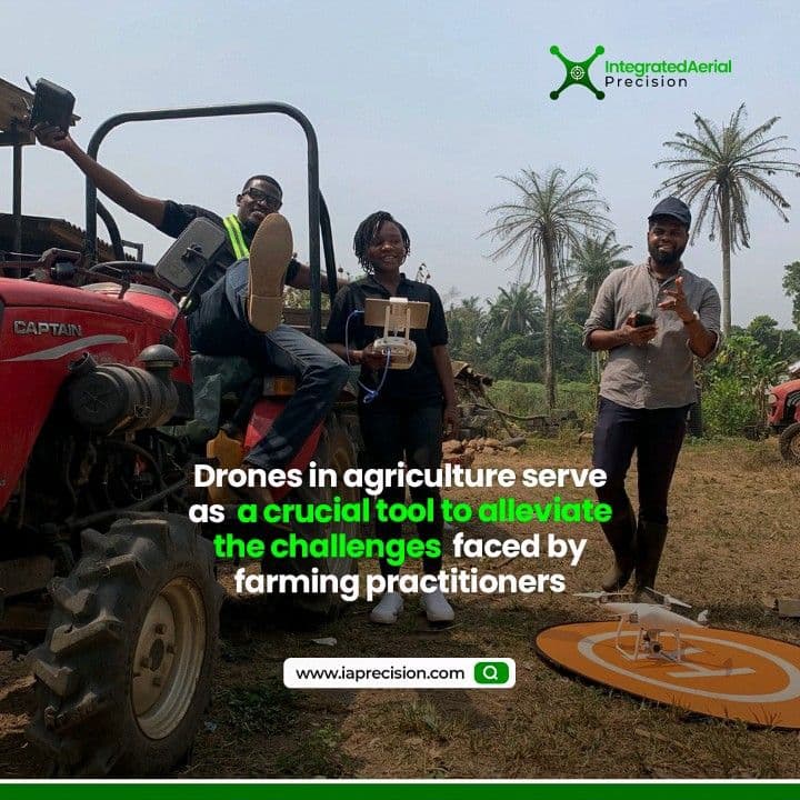
IAPrecision Team consisting of drone pilots and Geospatial analysts set out to assist Etal Farms Nig. Ltd. in Ijebu-Igbo, Ogun State. With drone mapping and layout optimization of a little over 24 Ha farmland divided into two farm fields 5Ha and 17Ha farm respectively.
The farm in collaboration with Granjero de Bauer (Consultant) wanted to have an aerial view of both farms. Subsequently, a layout plan carefully divided each farm into 1Ha management units, topographic information and the overall plant health of crops on both farms.
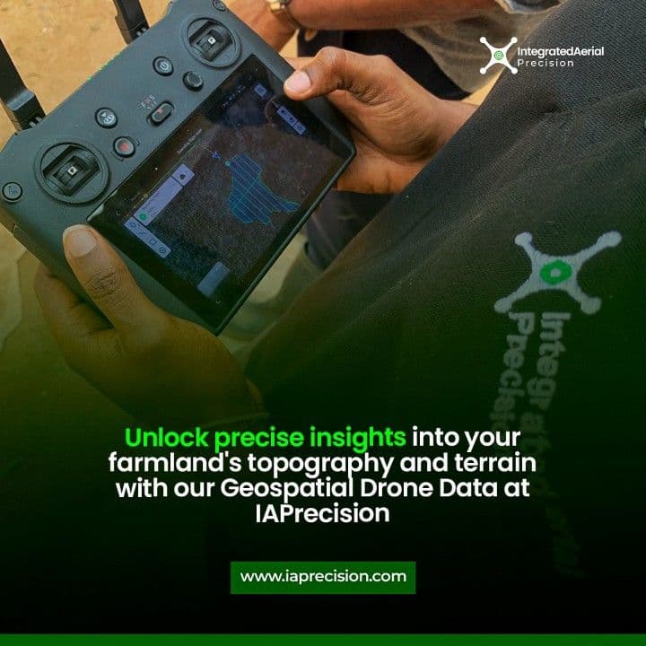
They were fully involved from the onset of the project providing a survey plan (.jpeg) that outlined the boundary for both farms. This boundary data was replicated and converted to a kml file that guided us as a boundary map for flight planning.
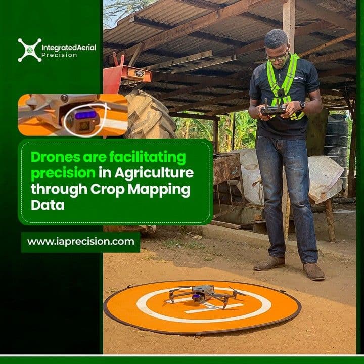
On the farm, the drone pilots took off and carried out two different flights across the area capturing images at a predefined altitude and ground sample distance (GSD), all of which are ideal specifications for the objectives required for this project. The results from this project facilitated their pursuit of The GAP Certification.
Good Agricultural Practices (GAP) audits, voluntary in nature, serve to validate the production, packaging, handling, and storage of fruits and vegetables to mitigate microbial food safety hazards. These audits ensured compliance with the guidelines outlined in the U.S. Food and Drug Administration’s Guide to minimize microbial food safety hazards for fresh fruits and vegetables, as well as industry-acknowledged food safety protocols.
Location-Ijebu Igbo, Ogun State, Nigeria.
Project Team -IAPrecision
Software used-Solvi Ag, AutoCAD, Google Earth Pro, Global Mapper
Hardware used-DJI Mavic 3 Multispectral
Flight height-80m
Overlap-Images captured-80% 767
GSD-2.1 cm
Outputs
Layout Plan, Ortho mosaic, Elevation Map, Plant Health (GLI)
The mapping process initiated with the acquisition of boundary coordinates for the farm or designated area, which were provided by [The Client]. Survey instruments were utilized to accurately outline the land's boundaries, resulting in the creation of a kml file for drone flight planning. The drone systematically traversed the area, following predetermined flight paths at an altitude of 80 meters and intervals of 2 seconds, capturing over 700 images.
In just over 30 minutes, our drone mapping achieved a great deal of data collection in contrast to traditional data collection techniques. The development of aerial data acquisition techniques into drone mapping practices effective time management without compromising data quality, precision and accuracy. The images collected were subsequently stitched together and processed using photogrammetry software facilitating agricultural analysis.
This comprehensive approach allowed for the assessment of plant health, elevation, and overall aerial perspectives of both farms. Using AutoCAD software, farm layouts were meticulously crafted, with each corner's coordinates indicated for easy identification and demarcation on the ground. The resulting maps and analyses furnish invaluable insights for farm management decisions, including crop planning, irrigation scheduling, and optimizing land usage.
WHY DIVIDE THE FARM INTO SMALLER UNITS?
Dividing the farm into smaller units optimizes resource allocation by tailoring inputs to specific needs, enhancing efficiency and minimizing waste. This approach, facilitated by precision farming technologies, enables customized interventions for each plot, leading to optimized crop growth and higher yields. Managing smaller units offers greater ease in monitoring and addressing issues, preserving crop health and productivity. Additionally, smaller units provide flexibility in crop selection and rotation, diversifying the agricultural portfolio and mitigating risks associated with adverse conditions or market fluctuations.
To produce a layout of these farms, a major consideration of this procedure was the access roads into the farm. Each layout can be accessed independently via existing roads and are approximately 1Ha each. The corresponding coordinates of all the corners of each plot are indicated on the plan for easy identification on the ground.
The mapped layout provides a comprehensive visual representation of the farm, aiding in long-term planning and documentation. Farmers can use the data to track changes in land use, monitor the effectiveness of management practices, and comply with regulatory requirements more effectively.
To further make sense of the data collected, we conducted a series of analysis to determine crop health, the terrain of the land and how that could possibly affect the plant’s growth.
GREEN LEAF INDEX
The Green Leaf Index serves a variety of purposes, notably in assessing chlorophyll levels in specific plant varieties. Moreover, by analyzing areas with green foliage or stems, GLI proves valuable for identifying pests and diseases. GLI values range from -1 to +1. Negative values represent soil and non-living features, while positive values represent green leaves and stems.
The color gradient on these maps illustrates a transition from deep red to vibrant green, distinguishing between areas of the farm that are bare land and those populated with crops. Clusters of green depicted on the maps indicate fallow land or dense vegetation. GLI aids precision agriculture methods by offering precise spatial data on crop health and variability within fields, enabling targeted interventions and enhancing productivity.
ELEVATION
The maps and colors are used to show the highest and lowest areas on the farms. While the first farm had like four variations in color showing hierarchy, the second farm displays nearly uniform coloration throughout, this could be a result of the area which is small compared to the first farm.
Elevation maps are instrumental for farmers in comprehending the inherent drainage patterns of their land, pivotal for crafting efficient irrigation systems, controlling water runoff, and averting soil erosion. Additionally, these maps aid farmers in identifying suitable crop areas, considering factors such as altitude, slope, and soil traits. Moreover, by grasping the topography of their land, farmers can streamline resource allocation, pinpointing optimal sites for planting, grazing, or constructing farm infrastructure like roads and buildings.
The significance of certification for adhering to good farm practices cannot be overstated. It aligns closely with the Sustainable Development Goals (SDGs) aimed at ensuring food security and sustainability, particularly in the face of growing threats to global food abundance. There's a rising necessity to equip farmers with verifications and certifications demonstrating their capacity to feed the world while upholding standards of quality and public health.
This project highlighted the crucial role of sustainability in agriculture. Through optimized resource allocation and improved operational efficiency, we boosted productivity while reducing environmental impact. By utilizing drone mapping technology, we obtained detailed insights into the farm's terrain and plant health, empowering stakeholders to make informed, data-driven decisions. This wealth of information will facilitate agile decision-making, leading to better outcomes and enhanced resilience for the farm and its stakeholders.
Want to achieve the impressive results seen in the Etal Farms Nig. Ltd. project?
IAPrecision can help you do exactly that. Our team of expert drone pilots and geospatial analysts use cutting-edge drone mapping technology to create detailed farm layouts, elevation maps, and plant health analyses – all tailored to your specific needs. Contact IAPrecision today for a free consultation and see how our drone mapping services can revolutionize your agricultural operations.
Plus, get a glimpse of the possibilities! Check out our video on LinkedIn showcasing the Etal Farms project here. Email us at info@iaprecision.com and Call or text us at 08085070112.
Don't wait – maximize your farm's potential with IAPrecision!