Dunsfield Farms, Imashayi, Ogun State, Nigeria
Combatting Fall Armyworm with Aerial Precision
When a severe fall armyworm infestation threatened 10 hectares of maize, we deployed the Mavic 3 Multispectral drone to map the damage extent and used targeted aerial spraying to prevent catastrophic yield loss for Dunsfield Farms
The Problem
The Challenge: A Rapidly Spreading Infestation
In early April 2025, Dunsfield Farms faced a severe outbreak of Fall Armyworm (FAW). As the name implies, the invasive pest was spreading like an army, rapidly ravaging their maize fields during the critical vegetative growth stage. Early signs—pinholes, ragged holes, and skeletonized leaves—were escalating quickly, threatening to wipe out the entire crop.
Without swift intervention, the farm was facing a potential yield loss of over 50%, a catastrophic outcome for their investment.
Why Traditional Methods Failed
Prior methods of combating the infestation were no match for the scale and speed of the outbreak.
- Knapsack Sprayers: Were too slow, labor-intensive, and provided inconsistent coverage across 10 hectares.
- Preventive Measures: Basic, early-season pesticide applications had been insufficient against the intensity of this year’s infestation.
The farm needed a solution that was not only powerful but also incredibly fast and precise.
Our Solution
Our Solution: A Two-Stage Aerial Intervention
We deployed a data-driven strategy combining multispectral analysis for diagnosis and precision drone spraying for treatment.
Stage 1: Diagnosis with a Multispectral Drone
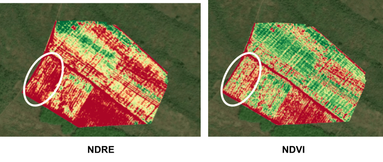
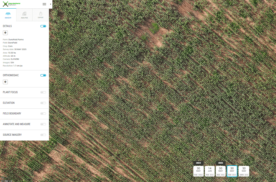
First, we conducted an aerial survey using the DJI Mavic 3 Multispectral drone to accurately assess the extent and severity of the damage. While standard visual (RGB) images show obvious damage, multispectral sensors detect subtle stress in plants that is invisible to the naked eye.
The NDRE Advantage: We analyzed the field using two different vegetation indices: NDVI and NDRE. While NDVI is a common metric for plant health, it can be misleading in mature crops. Our analysis showed that the Normalized Difference Red Edge (NDRE) index provided a far more accurate picture of the FAW damage. NDRE is more sensitive to chlorophyll variation and can detect stress before it becomes visually apparent.
This deeper insight allowed us to create a highly accurate "prescription map" for the spraying operation, ensuring no pesticide was wasted and every affected area was targeted.
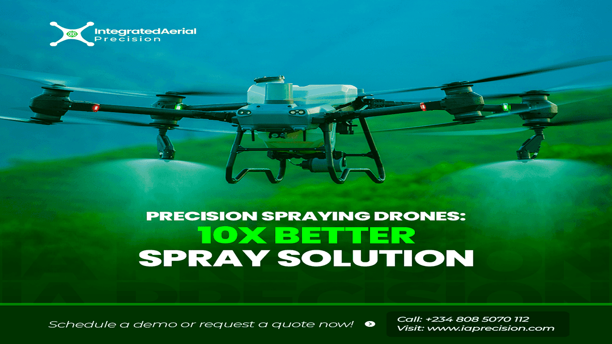
Stage 2: Treatment with Precision Spraying
Using the insights from the NDRE prescription map, we deployed the DJI Agras T50 drone for the insecticide application. This method offered three key advantages:
- Speed: The entire 10-hectare field was treated in a fraction of the time manual labor would take.
- Uniformity: The drone ensured consistent, uniform coverage across every plant.
- Safety: It eliminated the need for farm workers to have direct exposure to harmful pesticides.
The Results
10 Hectares
Mapped & Sprayed in Under 3 Hours
95%
Affected Crop Area Recovered
97%
Pest Reduction After 24 Hours
The Results: A Season Saved Through Precision
Our rapid and data-driven response successfully contained the infestation and saved the crop from catastrophic failure. The combination of advanced diagnostics and precision application delivered immediate and measurable results.
"Integrated Aerial Precision's rapid response and incredible technology saved our season. The level of detail from their drone analysis was beyond anything we'd seen before."
– Farm Manager, Dunsfield Farms
By moving beyond simple observation to deep, multispectral analysis, we empowered the client to take back control. What began as a worsening infestation became a powerful demonstration of how integrated drone solutions turn data into decisions, protecting crops and securing a farmer's investment.
At Integrated Aerial Precision, we do more than fly drones. We help farmers adopt smarter ways to protect their crops and boost productivity. Contact us at info@iaprecision.com or 08085070112 to learn more.
